Comprehensive Operations Analysis
Currently conducting a Comprehensive Operational Analysis (COA) to strategically reimagine and optimize WestCAT's transit operations in response to the ongoing impacts of the COVID-19 pandemic, which have led to reduced ridership. This analysis aims to provide WestCAT with a detailed roadmap for transforming the transit system to be more effective and reliable. The COA will evaluate and identify necessary changes to balance the needs of current riders, the desires of potential new users seeking greater convenience, and the effective utilization of available resources. By doing so, the COA will ensure that WestCAT continues to serve its community effectively while adapting to the evolving transit landscape.
San Francisco Vision Zero Ramp Intersections Study
Assessed collision patterns at 10 freeway ramp intersections in the SOMA neighborhood for a Vision Zero project to plan safety improvements for pedestrians and cyclists. Multiple site visits were conducted to collect data on current infrastructure conditions . Designed and created visual diagrams of each intersection showing the collision locations, parties involved, movements, and injury type to aid in analysis of potential improvements. Prime contractor: Parisi Transportation Consulting.
Grand Boulevard Initiative
The Grand Boulevard Initiative is a regional collaboration to revitalize the 43-mile El Camino corridor in San Mateo and Santa Clara Counties. I served as staff to the initiative and developed and maintained project scopes, budgets, and schedules. I was responsible for managing datasets, performing analyses, presenting data in a clear and effective manner, and developing innovative communications strategies.
Joshua Tree Transit Service Business Plan
Assisted in development of a business plan for a new transit service within Joshua Tree National Park and gateway communities. Tasks included analysis of current visitation patterns, analysis of service alternatives and costs. Worked with prime contractor, Mobility Planners, LLC and Transit Marketing.
Marin Access Mobility Management
Conducted a program analysis of the Marin Access Paratransit and Catch-A-Ride taxi voucher programs, including trip data analysis and a customer survey. Other work included laying out the countywide transportation guide for seniors and people with disabilities.
Mapping & Geographic Analysis
I use GIS to conduct geographic analysis and produce high-quality maps. Past projects include Caltrain Title VI Analysis, Petaluma Transit school service maps, Grand Boulevard Existing Conditions, Vallejo GIS Needs Assessment, and Redwood City Caltrain Commute Shed Analysis.
Onboard Transit Survey - Westchester, NY
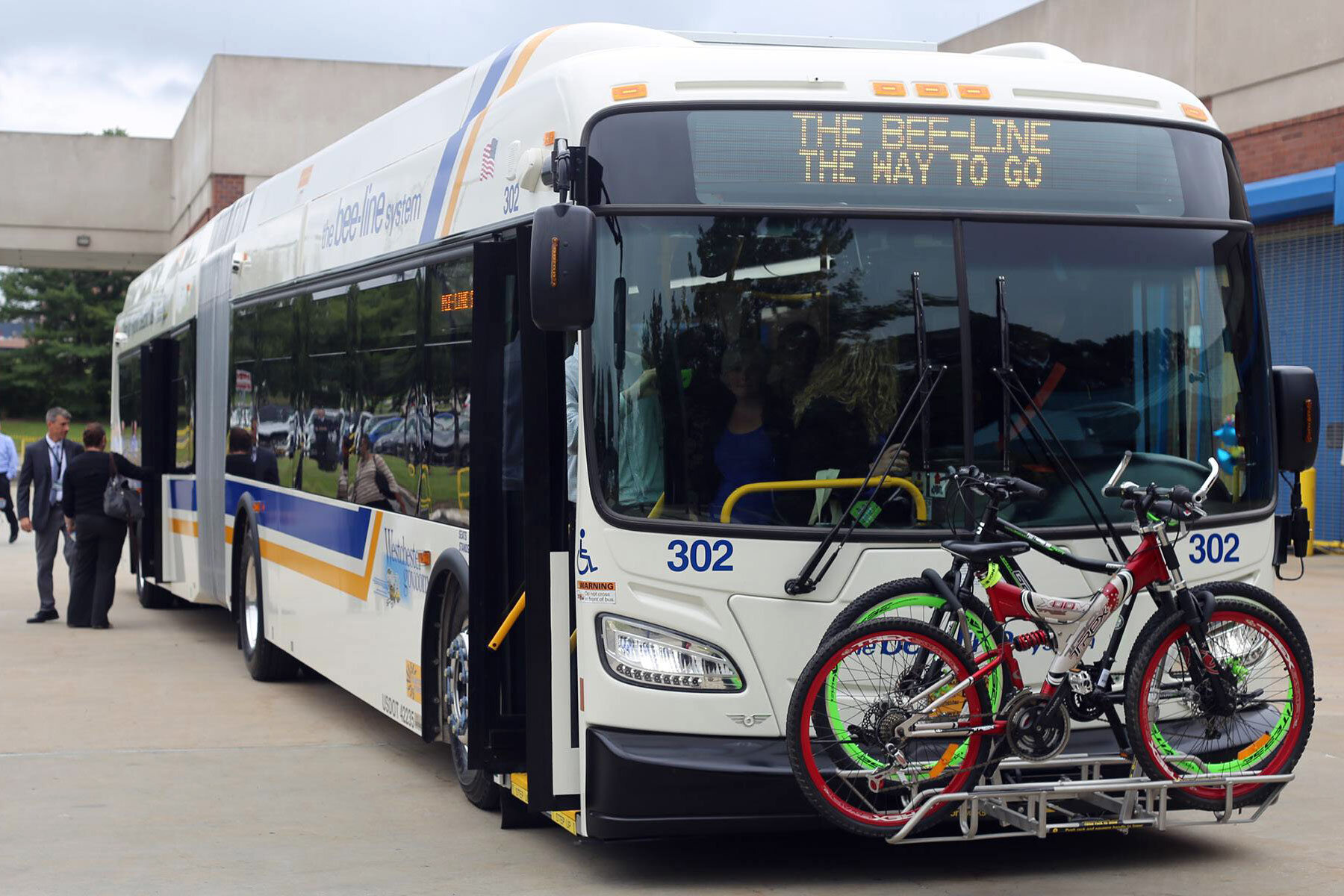
Planned, managed, and onsite supervised a large-scale onboard survey for the Bee-Line transit system. Developed a sampling plan to gain a representative sample of current bus riders. Planned all data collection and data tracking methods. Successfully ensured that survey collection targets were met while adjusting to frequently changing conditions.
Mobility Plan for Older Adults & People with Disabilities
Led a planning process for SamTrans to improve the mobility of older adults and people with disabilities. Responsible for all project tasks, including stakeholder outreach, data analysis, development of strategies and programs, and implementation recommendations.
Fresno County Regional Long-range Transit Plan
Assisted with development of a regional transit plan looking towards the year 2050. Tasks include stakeholder interviews, planning document review, and alternatives development. Working with prime consultant VRPA Technologies and Mobility Planners.
Bus Stop Inventory Database
Designed and developed an inventory database of 600 bus stops for Marin County Transit, including a successful and efficient method for field collection of the data. Information collected included GPS coordinates, signage, various measurements, condition of stop amenities, and photos .
Short Range Transit Plan for the Morongo Basin Transit Authority
Conducted a focused short range transit plan in the Morongo Basin. Tasks included a comparative fully loaded wage analysis of eight peer agencies, supervising a ridecheck and analyzing the results, stakeholder outreach, and development of route schedule alternatives. Worked with prime contractor Mobility Planners, LLC.
Public Transit - Human Services Coordination Plan for Stanislaus County
Conducted a planning effort to examine current transportation gaps and solutions for seniors, people with disabilities, low-income, and veterans. Tasks included stakeholder interviews, focus groups, a stakeholder survey, a transportation service inventory, assessment of mobility gaps, and development of transportation strategies. Worked with prime contractor, Mobility Planners, LLC and subcontractor, The Rios Company.
ADA Paratransit Strategy for Alameda CTC Countywide Transit Plan
Assisted in development of a complimentary ADA Paratransit Strategy for the Countywide Transit Plan. Interviewed operators and other key stakeholders. Determined potential impacts of proposed fixed-route service improvements on paratransit service costs and service delivery. Evaluated progress on implementation of the paratransit strategies recommended in the MTC Transit Sustainability Project Paratransit Report.
Petaluma Transit System Map
Updated the Petaluma Transit System map, including the design and accessibility.
SamTrans Senior Mobility
Planned and implemented programs to increase the mobility of seniors and people with disabilities in San Mateo County. Developed a Senior Mobility Guide, Mobility Ambassador travel training program, vehicle sharing program, and Information & Assistance feasibility assessment. Current work includes development of a Mobility Management Center and coordination with the Aging and Adult Services Information & Assistance program.
Community-based Transportation Planning
Managed development of Community-based Transportation Plans for the Bayshore Neighborhood in Daly City and San Bruno/South San Francisco.
Marin Transit School Transportation Study
Assessed an array of existing conditions as part of a countywide effort to develop innovative strategies for school transportation.
Youth on Transit School Outreach
Currently developing a Spare the Air youth outreach program to high school students in Marin County and Petaluma. Graphic shows one of the school-specific transit maps that I developed as part of this project.
San Mateo Countywide Transportation Plan for Low-income Populations
Managed a countywide effort to assess the transportation needs of low-income populations and develop viable solutions.
Grant Writing
Wrote several successful grants to conduct planning efforts, operate programs, and build capital improvements, totaling over $2.1 million.
Project Websites
Planned and created project websites for several projects, including the Grand Boulevard Initiative, Peninsula Fleet Share, Bayshore CBTP, and others.
GIS Needs Assessment & Implementation
Conducted GIS needs assessments and implementation plans for the City of Vallejo planning devision and San Mateo County Transit District. Currently assisting the City of Vallejo with implementation of a GIS that is integrated with current planning tools.
Onboard Transit Survey - Raleigh-Durham , NC
Responsible for the planning and execution of two consecutive onboard transit surveys for each of five interrelated transit systems. Developed a stratified sample of bus runs based on ridership data to gain a statistically valid representative sample of current customers. Trained and managed contracted staff . Onsite supervised the four-week field collection process.
Fresno Area Express Onboard Survey
Managed a systemwide onboard survey to collect market information from current riders. Trained and supervised survey staff. Ensured quality data collection. Analyzed survey data and produced a summary report. Worked with prime consultant VRPA Technologies, as well as Mobility Planners, Transit Marketing, and CJI Research.
Demographic Data Analysis & Mapping - San Bernardino & Riverside Counties
Collected and analyzed demographic, transit, and travel data. Created several maps showing various key populations and transit infrastructure as part of a planning process to assess the needs of transportation disadvantaged populations and increase coordination among various agencies. Reported findings in a written document including infographics, charts, tables, and maps.


